

Weekend weather could clear skies.
This item is available in full to subscribers.
To continue reading, you will need to either log in to your subscriber account, or purchase a new subscription.
If you are a current print subscriber, you can set up a free website account and connect your subscription to it by clicking here.
If you are a digital subscriber with an active, online-only subscription then you already have an account here. Just reset your password if you've not yet logged in to your account on this new site.
Otherwise, click here to view your options for subscribing.
Please log in to continue |
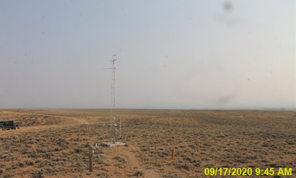
Almost constant smoky haze
from wildfires to the west of Wyoming provides brilliant
sunsets – and should be a reminder that extreme fire dangers
continue in western Wyoming.
This week, the National Weather Service posted airquality
alerts for continued smoke and haze along with
warm, dry weather that will raise its fire danger to “high”
on Saturday.
The NWS’s air-quality alert for Sept. 17 said, “Thick
smoke from wildfires in other states has been observed
across much of western and central Wyoming.”
NWS released these alerts on behalf of the Wyoming
Department of Environmental Quality’s Air Quality
Division and Wyoming Department of Health.
“Obviously, when smoke is heavy we consider it a
health concern, especially for children, older people and
individuals with certain health conditions,” said Kim Deti
for the Department of Health. “If smoke is heavy where you
live, you should be mindful and limit outdoor exercise.”
This would apply to the elderly, young children and
people with respiratory problems who should avoid
excessive physical exertion and prolonged exposure.
People with concerns can check the AQD’s current air
quality conditions at its monitoring stations at http://www.
wyvisnet.com.
NWS’s fire danger forecasts point to ongoing low
humidity, gusty winds and unseasonably warm temperatures
that “will create erratic fire behavior.”
Winds are expected from the southwest at 10 to 20 miles
per hour with gusts up to 30 mph. Humidity is expected to
be as low as 10 percent in lower elevations and 14 to 18
percent in higher elevations.
“A fire weather watch means that critical fire weather
conditions are forecast to occur,” it said Thursday. “Listen
for later forecasts and possible ‘red flag’ warnings.”
The weekend might bring relief in the form of
precipitation predicted by the NWS – “Saturday will be
partly cloudy and breezy with isolated late day showers and
thunderstorms. Sunday will be partly cloudy with isolated
afternoon/evening showers and thunderstorms from the
Snowy and South Laramie Range east to the southern
Nebraska Panhandle. Monday will be mostly sunny.”
For weather information, go to www.weather.gov/cys.


