

Using software to model fire behavior such as flame length, rate of spread and crown fire, the team created integrated hazard-rating maps that depict fire simulations and potential growth across the landscape by combining burn probability and conditional flame length. Seven hazard classes, from non-burnable to highest-risk, are assigned to various locations on the maps.
This item is available in full to subscribers.
To continue reading, you will need to either log in to your subscriber account, or purchase a new subscription.
If you are a current print subscriber, you can set up a free website account and connect your subscription to it by clicking here.
If you are a digital subscriber with an active, online-only subscription then you already have an account here. Just reset your password if you've not yet logged in to your account on this new site.
Otherwise, click here to view your options for subscribing.
Please log in to continue |
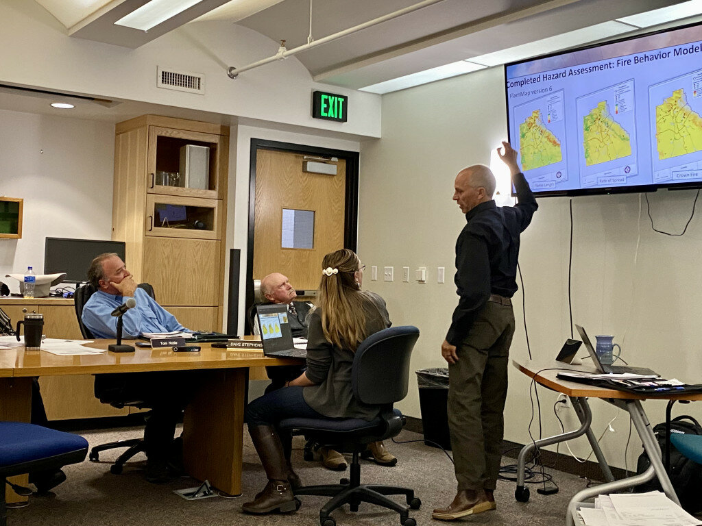
SUBLETTE COUNTY — The Board of Sublette County Commissioners unanimously adopted the Community Wildfire Protection Plan at the Oct. 4 meeting. The document was a collaborative effort between Y2 Consultants, Flaming Tree Solutions, Teton Wildfire Mitigation Team, LLC, Sublette County Unified Fire (SCUF) and the public.
Field assessments for 40 locations were conducted in October 2021 and June as part of the assessments of communities at risk. Public workshops to gather feedback were held from April to June followed by a monthlong public comment period.
Using software to model fire behavior such as flame length, rate of spread and crown fire, the team created integrated hazard-rating maps that depict fire simulations and potential growth across the landscape by combining burn probability and conditional flame length. Seven hazard classes, from non-burnable to highest-risk, are assigned to various locations on the maps.
The residential structures at the Temple Creek Residences carry the highest hazard, along with the Elkhart Park Recreation Area and the Sargent Subdivision.
The Green River Lake Lodge, Jim Bridger Estates, Hoback Ranches, Forty Rod Subdivision and others received “moderate” to “high-hazard” risk ratings.
The geospatial data, final map products and other wildfire protection resources are available on the Sublette County Greenwood Mapserver at sublettewyo.com.


